
LTIMindtree’s GeoSpatial technologies are committed to delivering value through location intelligent products and solutions that cater to the business needs across industrial sectors. We help businesses transform the way they operate-whether it’s tracking your high valued asset in indoor-outdoor environment or keeping your projects on schedule, we provide end-to-end support right from data collection and management to analytics and visualization of your project. With cutting edge spatial technologies and map platform, GeoSpatial help customers achieve a competitive edge in their businesses.

Specialized solutions to enhance location accuracy for your business needs

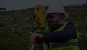
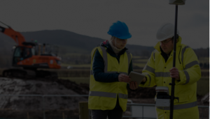
End-to-end support and process management throughout the project lifecycle with automated map workflows

Dynamic and robust map interface across all solutions and products

Tested and trusted GeoSpatial products and platform

Diverse team of experts passionate about GeoSpatial engineering services

GeoSpatial services
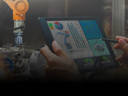
GeoSpatial engineering solutions
Innovative GIS solutions

Products & platforms

Consulting
Record of Excellence

$2Bn+

150000+

10%

250K+

500+

99.5%
LTIMindtree - future, faster, together.

Sumantra naik, birla corporation’s, AVP talks about how LTIMindtree helped digitalize their mining & logistics initiatives
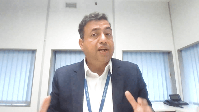
L&T’s chief digital officer on how LTIMindtree helped them digitalize their processes and systems
Trusted By


Trusted By


Excellent approach methodology for precise modeling. The quality and timely delivery of the project is admired
Sankaravel,
Chief Engineering Manager, L&T Power Transmission & Distribution.
Very quick and efficient delivery of the data. Highly appreciate the services & solutions by the GeoSpatial team
TSRM Srinivas,
Head Project Control, Mauritius Light Rail Transit System

Achievements