Contact us
  • Build Smarter, Faster: AI-Powered Progress Monitoring with Drones and Snowflake

    Build Smarter, Faster: AI-Powered Progress Monitoring with Drones and Snowflake

Monitor real-time construction with drone imagery, GeoAI, and cloud-powered dashboard

LTIMindtree’s smart monitoring platform integrates high-resolution, AI-powered geospatial analytics, Esri’s spatial intelligence, and Snowflake’s scalable cloud engine to redefine construction progress tracking.

From real-time data capture to automated insights and collaborative dashboards, this end-to-end solution delivers faster, more accurate, and highly scalable visibility for large-scale construction projects.

Comprehensive data acquisition

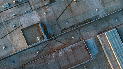
  • Macro-to-micro scale mapping: Drone flights deliver wide-area views and fine-grained detail, capturing real-world conditions from multiple-angle to ensure comprehensive construction visibility.
  • Centimeter-level precision capture: Custom flight plans and advanced ground control points enable centimeter-grade accuracy, improving spatial analysis and the reliability of visual outputs.
  • Continuous-on site monitoring: Periodic monitoring and data collection support the ongoing assessment of construction activities, ensuring deviations are identified early and resolved efficiently.

Comprehensive data acquisition

Advanced data processing techniques

Advanced data processing techniques
  • 3D reconstructions with photogrammetry: Drone imagery is converted into rich 3D geographic models, offering deep insights into structural development and construction progress.
  • High-precision orthomosaics: Clear, measurable aerial maps (orthomosaics) are created for each scan, which is ideal for documentation, progress comparisons, and stakeholder reporting.
  • Depth-aware, stereo analysis: Stereo image stacks enable depth perception, segmenting the site by activity stage to support phased inspections and visual validations.

GeoAI-driven progress identification

  • Geospatial machine learning models: AI/ML models trained on construction workflows detect spatial patterns, classify work zones by stage, and accurately flag progress anomalies.
  • Automated zone recognition: Purpose-built algorithms classify completed, in-progress, and pending construction areas, eliminating manual verification and reducing on-site effort.
  • Predictive analytics with location intelligence: Using project timelines, spatial context, and progress data, the platform forecasts potential delays and bottlenecks at the block or floor level, empowering project teams to take proactive action.

GeoAI-driven progress identification

Rapid computation and result dissemination

Rapid computation and result dissemination
  • Cloud-enabled data computation: A high-speed cloud engine processes massive drone imagery and geospatial data sets in minutes, keeping your reporting cycle ahead of schedule.
  • Unified, secure access: Processed outputs are stored and accessed through a scalable, secure cloud environment that supports collaborative project management and cross-functional data sharing.
  • Interactive geospatial dashboards: Visual dashboards provide intuitive, spatial views of progress. Engineers, project leads, and senior stakeholders can access them anytime via the web.
  • Automated reporting & insights delivery: Smart reports summarize key metrics, risk flags, and project milestones, ensuring decision-makers receive timely, actionable updates.

Integrated geospatial intelligence

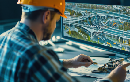
Our platform delivers rich spatial intelligence through interactive site maps, 3D models, and AI-powered heatmaps. Stakeholders can explore layered visuals to track progress, flag issues, and gain complete transparency across timelines, turning static reports into dynamic, decision-ready experiences.

Why this matters?


Precision UAV data capture minimizes on-site labor and reduces inspection time.

AI/ML models trained on construction workflows classify progress stages quickly and accurately.

Cloud-native processing scales effortlessly across large project sites and timelines.

Geospatial dashboards offer role-specific views, enhancing stakeholder alignment and responsiveness.

Predictive alerts help prevent delays by flagging risks before they disrupt delivery.

Common Page CSS / JS

Contact Us